

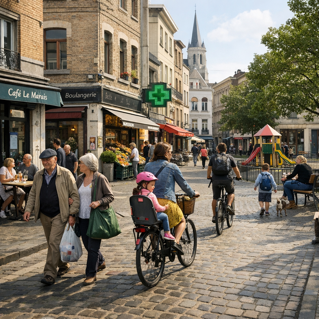
The City of Brussels is making significant strides toward realizing its ’10-minute city’ concept, an urban planning initiative designed to ensure that residents can access essential services and amenities within a ten-minute walk or bike ride from their homes. This approach aims to enhance the quality of life by promoting proximity and reducing reliance on motorized transport.
Interactive Mapping Tool
To support this vision, Brussels has introduced an interactive mapping tool that allows residents to visualize and plan their access to various services, including schools, healthcare facilities, parks, and shops. This tool empowers citizens to better understand their neighborhoods and make informed decisions about their daily activities.
Urban Planning and Development
The ’10-minute city’ concept is central to Brussels’ Municipal Plan for Sustainable Development, known as ‘BXL 2050.’ This plan outlines the city’s commitment to creating a sustainable, inclusive, and accessible urban environment by 2050. By focusing on local accessibility, the city aims to foster community engagement, reduce traffic congestion, and promote environmental sustainability.
Community Impact
Residents have expressed optimism about the initiative, noting that improved access to local services can lead to stronger community ties and a more vibrant urban life. The interactive mapping tool is seen as a practical step toward achieving these goals, offering a user-friendly platform for citizens to engage with their city’s development.
As Brussels continues to implement the ’10-minute city’ framework, the integration of such digital tools demonstrates the city’s commitment to innovative urban planning and the well-being of its residents.